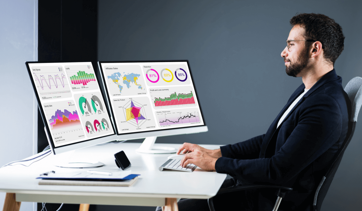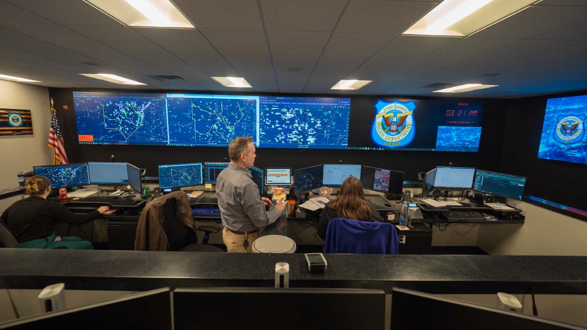
Real-time crime centers (RTCCs) help law enforcement agencies monitor incidents, coordinate resources, and provide officers with timely intelligence. However, managing information across separate systems can slow down decision-making, especially during emergencies.
A real-time crime center dashboard addresses this challenge by bringing information such as computer-aided dispatch (CAD) data, live video, GPS-enabled units, live incident dashboard, license plate reader (LPR) alerts, and incident reports into a centralized operational view. This helps dispatchers, analysts, and command staff understand developing situations and share relevant information with responding officers.
Several technology providers offer platforms that support these workflows. Here are 10 real-time crime center dashboards and operational solutions worth considering.
1. GeoShield
GeoShield provides a law enforcement operations platform designed to support real-time situational awareness, crime analysis, and incident management. Its Real-Time Dashboard brings information such as active calls for service, GPS-enabled assets, license plate reader data, and live camera streams into an interactive mapping environment.
The platform also offers real-time incident alerts and historical data overlays, helping personnel understand current events alongside relevant geographic and historical context. Its desktop and mobile accessibility supports information sharing between command staff, analysts, and officers in the field.
Key capabilities:
Real-time incident monitoring and alerts
Interactive GIS mapping
GPS-enabled asset visibility
Live camera streaming and LPR information
Historical data overlays
GeoShield is worth considering for agencies looking for a GIS-centered real-time crime center dashboard that connects operational information with geographic intelligence.
2. Axon Fusus
Axon Fusus is a real-time operations platform that brings video, alerts, and field information into a shared operational view. It helps RTCC personnel and officers access relevant information through a common map.
The platform can connect public safety camera systems, registered community cameras, drone feeds, dispatch information, and other operational data. This can help analysts provide context to officers before and during an incident.
Key capabilities:
Unified live video and operational information
Camera and community video integration
Officer location and dispatch visibility
Real-time alerts
Shared situational awareness
Axon Fusus may suit agencies seeking to expand camera access and connect field intelligence with command center operations.
3. Flock Safety FlockOS
FlockOS is a real-time crime center platform designed to bring multiple public safety data sources into one map-based interface. It connects information such as license plate recognition, video, sensors, CAD, RMS, drones, and 911 data.
By presenting different sources in a shared operational view, FlockOS helps public safety teams understand incidents and coordinate their response. Its platform is designed for use in command centers as well as by personnel working in the field.
Key capabilities:
Unified operational mapping
LPR and video integration
CAD and RMS data connections
Sensor and drone information
Real-time intelligence for response teams
FlockOS is particularly relevant for agencies that rely on connected camera networks and vehicle intelligence as part of their operations.
4. Motorola Solutions CommandCentral Aware
CommandCentral Aware provides situational awareness software for real-time operations and public safety command centers. It combines video, voice, data, alerts, and resource locations into a common operational view.
Users can view incidents, cameras, radios, drones, and other resources on a map. The platform also supports automated workflows, event monitoring, and intelligence sharing between analysts and field personnel.
Key capabilities:
Unified mapping and event monitoring
Real-time camera and video access
Resource and unit tracking
Automated incident workflows
Intelligence sharing and historical event replay
CommandCentral Aware is worth evaluating for agencies looking to connect existing public safety technologies and improve coordination across operational teams.
5. Genetec Citigraf
Genetec Citigraf is a situational awareness solution developed for real-time crime centers. It consolidates information from different systems to help law enforcement and emergency response teams develop a more complete view of unfolding situations.
The platform can connect video surveillance, CAD calls, automatic license plate recognition, IoT devices, and geographic information systems. It also supports the analysis of longer-term crime trends, helping agencies connect real-time operations with broader public safety planning.
Key capabilities:
Integrated video and surveillance data
CAD and ALPR information
GIS-based situational awareness
Connected sensor data
Operational and crime trend analysis
Citigraf can be a suitable option for agencies that need to combine citywide security technologies and operational information.
6. Peregrine Technologies
Peregrine focuses on public safety data integration and operational intelligence. Its real-time operations capabilities help agencies organize historical and real-time information so analysts can access relevant context during developing incidents.
The platform can support the use of sensor data, historical records, location searches, and analytical products. This can help RTCC teams move beyond monitoring individual alerts and understand how different pieces of information relate to an incident.
Key capabilities:
Centralized access to operational data
Real-time sensor information
Historical context and data searches
Analytical reporting
Intelligence support for field operations
Peregrine is worth considering for departments that want to connect operational data with analytical workflows.
7. Hexagon HxGN Connect
Hexagon HxGN Connect is a collaboration and situational awareness platform designed for real-time incident and operations centers. It helps teams access information from different systems and coordinate activities through shared views and communication channels.
The platform supports real-time operational awareness and collaboration across participating teams. Hexagon also offers public safety technologies such as HxGN OnCall Dispatch and OnCall Analytics, which can contribute to a connected emergency response environment.
Key capabilities:
Shared operational information
Real-time incident awareness
Cross-team collaboration
Data integration
Assistive analytics capabilities
HxGN Connect may be useful for agencies that need to coordinate information across departments and support broader emergency operations.
8. Live Earth
Live Earth provides situational awareness and command-and-control technology designed to help organizations visualize operational information. Its mapping-focused approach can support the display of assets, incidents, and other relevant information in a shared operational environment.
For public safety teams, a common operating picture can help personnel understand where activity is occurring and coordinate resources across different locations.
Key capabilities to evaluate:
Geospatial visualization
Shared operational views
Location-based information
Integration with external data sources
Situational awareness for command teams
Agencies should review the specific integrations and public safety workflows available in the Live Earth offering being considered.
9. Mark43
Mark43 develops cloud-based public safety software, including computer-aided dispatch and records management capabilities. These systems support the operational data workflows that can contribute to a real-time crime center environment.
When connected with other situational awareness and intelligence tools, CAD and RMS information can help analysts and dispatchers access incident details and relevant records.
Key capabilities to evaluate:
Computer-aided dispatch workflows
Records management
Access to incident information
Operational data management
Integration with other public safety systems
Mark43 is worth considering for agencies evaluating how cloud-based dispatch and records systems can support their wider operational technology environment.
10. Milestone XProtect
Milestone XProtect is a video management software platform that can serve as part of a real-time crime center's video infrastructure. It helps organizations manage and access video from connected surveillance cameras.
Although a video management system is not necessarily a complete RTCC dashboard, it can provide an important layer of situational awareness when integrated with mapping, dispatch, analytics, and other public safety systems.
Key capabilities to evaluate:
Centralized video management
Access to connected camera feeds
Video monitoring and investigation workflows
Integration with compatible third-party technologies
Support for broader security operations
Milestone XProtect may be relevant for agencies that want to strengthen their video infrastructure as part of a larger RTCC deployment.
What Should Agencies Look for in a Real-Time Crime Center Dashboard?
Choosing an RTCC dashboard involves more than comparing screen layouts. Agencies should evaluate how well a platform supports their daily workflows and emergency response requirements.
Important considerations include:
1. Real-time data integration: The platform should connect relevant sources such as CAD, RMS, video feeds, LPR systems, sensors, and GPS-enabled resources.
2. GIS and interactive mapping: Map-based visualization helps personnel understand incident locations, nearby resources, geographic patterns, and operational coverage.
3. Real-time alerts: Timely notifications can help analysts and dispatchers identify important developments and share information with appropriate personnel.
4. Mobile accessibility: Officers should be able to access relevant operational information while working in the field, subject to agency policies and permissions.
5. System interoperability: Compatibility with existing public safety technology can reduce information silos and help agencies make better use of their current investments.
6. Security and access controls: Agencies should review data protection, user permissions, audit capabilities, and applicable criminal justice information security requirements.
7. Usability and scalability: A dashboard should present important information clearly and support the agency's operational needs as its data sources and workflows evolve.
Conclusion
Real-time crime center dashboards help law enforcement agencies bring incident information, video, location data, and operational intelligence into a more connected environment. Solutions such as GeoShield, Axon Fusus, FlockOS, Motorola CommandCentral Aware, and Genetec Citigraf offer different approaches to improving situational awareness and incident coordination.
The right platform depends on an agency's existing systems, integration requirements, geographic workflows, and operational priorities. By evaluating these factors, departments can choose a real-time crime center dashboard that supports informed decisions, effective coordination, and more responsive public safety operations.
Frequently Asked Questions
1. What is a real-time crime center dashboard?
A real-time crime center dashboard is an operational interface that brings information such as active incidents, live video, GPS-enabled units, LPR data, and alerts into a centralized view. It helps law enforcement personnel monitor situations and share relevant intelligence.
2. How does an RTCC dashboard improve incident response?
An RTCC dashboard can improve incident coordination by giving dispatchers, analysts, and officers access to relevant information in one place. This helps teams understand developing situations, identify nearby resources, and communicate operational updates.
3. What data sources can a crime center dashboard integrate?
Depending on the platform and available integrations, an RTCC dashboard may connect CAD, RMS, surveillance cameras, LPR systems, GPS tracking, drones, sensors, and GIS data.
4. Why is GIS mapping important in a real-time crime center?
GIS mapping adds geographic context to incidents and operational data. It helps personnel visualize incident locations, identify nearby resources, understand crime patterns, and support location-based decisions.
5. What is the difference between an RTCC dashboard and a video management system?
An RTCC dashboard brings together multiple types of operational information, such as incidents, mapping, alerts, and video. A video management system primarily manages camera feeds and recorded footage. A VMS can support an RTCC when integrated with other public safety systems.


When the government charges someone with a misdemeanor DUI in Arizona, there are a number of charges that come along with it.
There is usually never just a single Arizona DUI charge.
In other words, you did not have to be above the legal limit of alcohol, which is .08 in Arizona, the state to convict you of driving under the influence.Ironically, if you have a very good tolerance to alcohol you could potentially beat this charge by saying your high tolerance allowed you to drive without any affect, regardless of how high the blood alcohol concentration actually was.
If the state convicts you of this charge, the minimum time in jail is one day in custody.In a driving under the influence charge only, the blood test results by themselves are not dispositive.
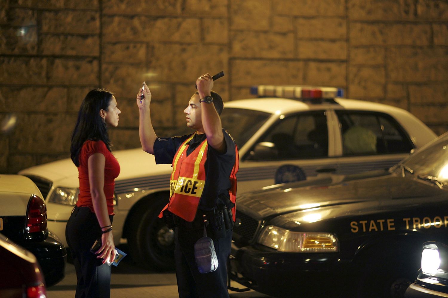
The first kind of evidence the government will use is the police officer’s observations.
The police officer will testify as to how he saw the accused drive and how he saw the accused behaved once he got out of the car.The testimony is always right out of the NHTSA playbook, practically memorized.
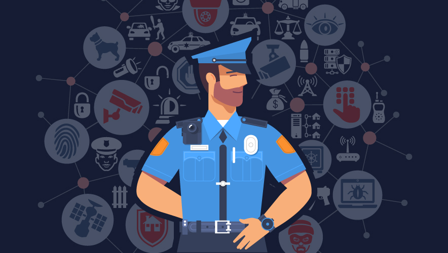
Modern police departments rely on connected technology to manage incidents, coordinate personnel, analyze information, and maintain operational awareness. A