


INTRODUCTION
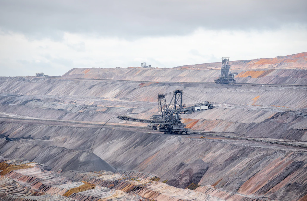
The mining industry has opened its arms to drone technology for many mining applications such as inspection, survey, mapping, safety management, safety enhancement, etc. The growing demand for unmanned aerial vehicles (UAVs) for the task of simply providing information quickly and cheaply. Drones in mining have seen phenomenal growth and have added significant value to any mining project. With better coordination, deeper analysis, lower costs, and increased worker safety, the mining industry has found a saviour!
THE TYPES OF MAPS USED IN MINING
Orthomosaic maps -
An orthomosaic map usually contains several ortho images. An aerial image that has been geometrically altered due to camera tilt, resolution, or lens distortion is called an ortho image.Each pixel in an image contains 2D and 3D geotagged information, allowing you to measure the exact distance from specific points on the map. Orthomosaic plans allow you to measure the area, volume and distance of mining sites and projects.Visit us for more updates- Drone survey in India
3D Point Cloud -
The point cloud is a 3D visualization containing millions of geospatial data (X, Y, Z) and lots of color data of my location. These point clouds are known to produce complex high resolution data and are also represented as 3D mesh models. Industry standard software, 3D Point Cloud provides useful results for estimating distance (tilt and horizontal), area and volume.
DTM -
Drone images are used to create digital terrain models (DTMs), where each pixel contains information containing X, Y, and Z estimates of maximum elevation. DEMs contain data that is often spaced 3D size points and features such as ridges and 3D section lines. It also takes into account the nature of bare soil, unlike DEMs. DEMs are created by photogrammetry, and each resulting image must be properly stitched for accuracy.
DEM -
Digital Elevation Models (DEM) are worldwide elevation models. A 3D replica created from terrain elevation data and commonly used in Geographic Information Systems (GIS). Some applications include landscape design, visualization, planning, etc.They are used as rasters (grids with rectangles representing elevation) or vector triangular irregular networks (TINs).
BENEFITS
- Greater Accuracy - Drones for the mining industry capture more data points compared to traditional surveys and analysis. Drone technology has helped the mining industry to obtain accurate and efficient data for mining operations, such as volume estimation.
- Faster Data Collection - Drone Survey in Haryana of mine sites collect data nearly 30 times faster than traditional fieldwork by workers.
- High-Resolution Data - Drone imagery and aerial photography from drones provide clear images and video, unlike ground surveys and mine maps.
- Better Operations - Use drone data to increase the efficiency and effectiveness of mining operations. Workers rely on the information provided by drones and make informed decisions faster. The traditional methods used to inspect mine sites are now used in other major mining operations by workers.
- Cost effective - By using drones, companies simply save a lot of money, resources and investment time compared to ground surveys.
- Improved Worker Safety - Mine maps, surveys, inspections and monitoring using UAVs are completely remote and do not require the crew to be in danger.
Business Name- Garud Survey Private Limited
Business Address- 108 MIIC, Near MNIT Campus, JLN Marg, Jaipur, Raj.
Business Number- 7733911999


