Understanding AI-Powered Geospatial Intelligence
Geospatial intelligence combines location-based information, maps, satellite imagery, remote sensing, and spatial analysis to understand what is happening across the Earth's surface. Artificial intelligence is expanding these capabilities by helping organizations process large and complex datasets, identify patterns, detect changes, and generate insights more efficiently. The National Geospatial-Intelligence Agency describes GEOINT AI as the integration of AI with geospatial intelligence to analyze geographic information such as satellite imagery, maps, and GPS data.
The convergence of AI, remote sensing, and spatial data science has also given rise to Geospatial AI Solutions that support applications ranging from environmental monitoring to urban planning, disaster response, agriculture, and natural-resource management.
How AI Is Transforming Geospatial Intelligence
1. Automated Satellite Image Analysis
Satellite platforms generate enormous volumes of imagery that can be difficult to analyze manually. AI and deep learning models can automatically classify land cover, detect objects, identify changes, and extract features from imagery.
Recent research shows that GeoAI is increasingly incorporating deep learning, transformers, spatiotemporal models, multimodal data fusion, and foundation models to process remote-sensing information at greater scale.
2. Smarter Mapping and Spatial Analysis
AI can help automate portions of mapping and GIS workflows, including feature extraction, classification, spatial prediction, and map generation. This is contributing to the development of AI-Powered GIS, where machine learning and generative AI can assist users with increasingly complex spatial-analysis tasks.
Research into autonomous GIS is exploring systems capable of retrieving geospatial data, performing spatial analysis, and generating maps with reduced manual intervention.
3. Disaster Monitoring and Response
AI-powered geospatial systems can help organizations analyze imagery and other location-based information during natural disasters. For example, AI combined with high-resolution satellite imagery has been used to assess building damage following earthquakes.
Similar approaches can support flood mapping, wildfire monitoring, landslide assessment, and post-disaster infrastructure analysis.
4. Environmental and Climate Monitoring
Geospatial AI can process large Earth-observation datasets to identify changes in ecosystems, vegetation, water bodies, land use, and other environmental characteristics.
NASA's current GeoAI program focuses on applying machine learning, Earth-observation foundation models, and emerging agentic AI systems to convert growing volumes of Earth data into actionable information for real-world challenges.
5. Urban Planning and Infrastructure
Cities generate diverse spatial datasets from satellite imagery, sensors, transportation systems, mapping platforms, and other sources. AI can combine these datasets to analyze urban growth, traffic patterns, infrastructure conditions, and land-use changes.
Recent research highlights the increasing use of multisource GeoAI frameworks for urban analysis while also emphasizing challenges involving data compatibility, spatiotemporal alignment, provenance, privacy, and bias.
6. Supporting Natural-Resource Exploration
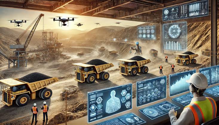
Geospatial intelligence also has applications in geology and mineral exploration. AI can combine satellite imagery, geological maps, geophysical information, geochemical datasets, and terrain models to identify spatial patterns and support exploration workflows.
This can help geoscientists analyze large geographic areas more efficiently while retaining field investigation and expert geological interpretation as essential validation steps.
Future Opportunities for Geospatial AI
The next phase of geospatial intelligence is likely to involve more sophisticated AI models capable of working with multiple data types simultaneously. GeoAI research is already exploring multimodal fusion, spatial representation learning, foundation models, explainable AI, and spatiotemporal modeling.
Geospatial Foundation Models
Foundation models trained on large Earth-observation datasets could provide reusable capabilities across different geospatial applications. In 2026, NASA reported the deployment of its Prithvi geospatial foundation model in orbit, demonstrating the potential for AI-based Earth observation to move closer to where data is collected.
Conversational GIS
Generative AI could make spatial analysis more accessible by allowing users to interact with GIS systems using natural language. Researchers are exploring autonomous GIS concepts in which AI can retrieve data, construct workflows, conduct analysis, and generate maps based on user requirements.
Real-Time Geospatial Intelligence
As satellite constellations, sensors, and connected devices generate increasingly frequent observations, AI could support faster detection of changes and emerging events. This creates opportunities for near-real-time monitoring across environmental, infrastructure, transportation, and emergency-response applications.
Challenges to Consider
Despite its potential, AI-powered geospatial intelligence faces important challenges. Geospatial datasets can vary significantly in resolution, format, geographic coverage, and quality. Models may also struggle to generalize from one region to another.
Researchers have highlighted the importance of uncertainty quantification, spatial generalization, explainability, responsible deployment, privacy, and computational efficiency.
Human expertise therefore remains important. AI can accelerate data processing and identify patterns, but domain specialists are still needed to validate results and understand their geographic context.
Conclusion
AI-powered geospatial intelligence is changing how organizations collect, process, and interpret location-based information. From automated satellite-image analysis and disaster response to urban planning, environmental monitoring, and mineral exploration, AI can help transform massive geospatial datasets into usable insights.
The future will likely bring closer integration between Geospatial AI Solutions, foundation models, multimodal data, and conversational AI-Powered GIS. Rather than replacing geospatial professionals, these technologies can provide new analytical capabilities that allow experts to work with larger datasets, investigate complex spatial relationships, and make more informed decisions.