When it comes to capturing stunning aerial imagery, having the right equipment is crucial. Aerial photography has evolved significantly in recent years, thanks to advancements in technology. In this section, we will explore the essential equipment needed to achieve high-quality 360-degree aerial imagery.
1. Drones
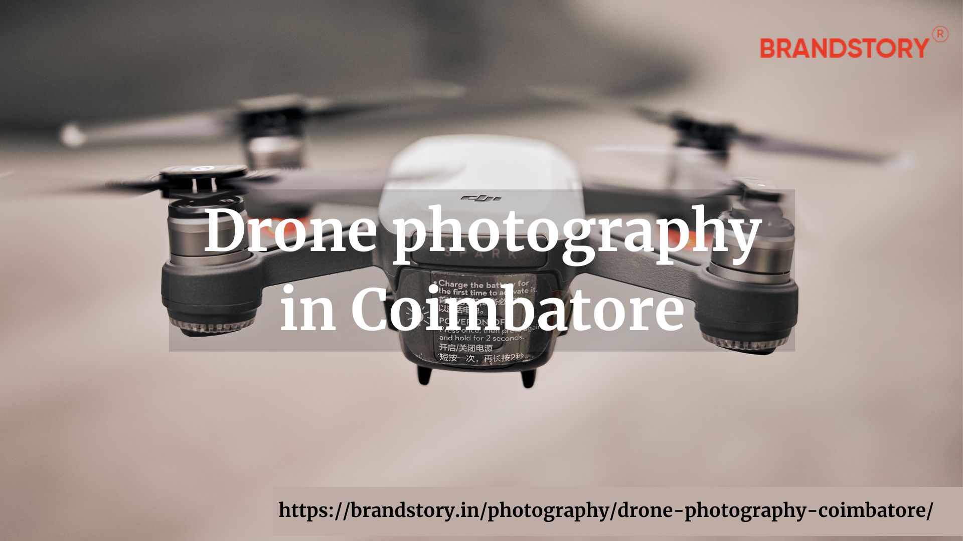
Drones, also known as unmanned aerial vehicles (UAVs), are at the forefront of aerial photography equipment. These small, remote-controlled aircraft are equipped with cameras that can capture breathtaking images and videos from a bird's eye view. Drones have become increasingly popular among photographers, filmmakers, and hobbyists due to their accessibility and versatility.
When choosing a drone for aerial photography, there are a few key factors to consider:
- Camera quality: Look for drones with high-resolution cameras capable of capturing sharp and detailed imagery.
- Stability: Stability is essential to avoid blurry images. Opt for drones with built-in stabilisation features, such as gimbals, to ensure smooth and steady shots.
- Battery life: Longer battery life allows for extended flight time, giving you more opportunities to capture the perfect photo or video.
- Range: Consider the range of the drone to ensure it can reach the desired altitude and distance for your aerial shots.
Some popular drone models for aerial photography include the DJI Phantom series, DJI Mavic series, and the Autel Evo series.
2. Cameras
While most drones come with a built-in camera, some professional photographers and filmmakers prefer using separate cameras to achieve even higher image quality. Interchangeable lens cameras or mirrorless cameras with larger sensors are often used to capture aerial imagery.
When selecting a camera for aerial photography, consider the following:
- Sensor size: Larger sensors generally offer better image quality and low-light performance.
- Resolution: Higher resolution allows for more detailed images.
- Image stabilisation: Look for cameras with built-in stabilisation or consider using a stabilised lens to counteract vibrations from the drone.
- Weight and size: Opt for compact and lightweight cameras to avoid weighing down the drone and affecting its flight performance.
Popular camera choices for aerial photography include the Sony Alpha series, Canon EOS R series, and the DJI Zenmuse line of cameras.
Aerial imaging technology:
In recent years, advancements in technology have revolutionised the field of aerial imaging. From high-resolution cameras to sophisticated software, these innovations have made it easier than ever to capture stunning aerial images and create immersive 360-degree experiences. In this section, we will explore some of the cutting-edge aerial imaging technologies available today.
1. High-resolution cameras
High-resolution cameras play a crucial role in capturing detailed and lifelike aerial images. These cameras feature sensors with a higher pixel count, allowing for sharper and more vibrant imagery. The advancements in sensor technology have also improved the dynamic range and low-light performance of aerial cameras, resulting in stunning images even in challenging lighting conditions. Some popular high-resolution cameras used in aerial imaging include the Phase One iXM series, Hasselblad A6D, and the Sony Alpha 7R IV.
2. Photogrammetry software
Photogrammetry software is essential for processing aerial imagery and turning it into accurate 3D models or maps. This technology uses algorithms to analyse multiple overlapping images captured from different angles and reconstruct a three-dimensional representation of the subject. Photogrammetry software can be used in various industries, including surveying, mapping, and urban planning. Some popular photogrammetry software options include Pix4Dmapper, Agisoft Metashape, and RealityCapture.
3. Virtual reality (VR) technology
Virtual reality technology has opened up new possibilities in the field of aerial imaging. By combining 360-degree aerial images with VR headsets, viewers can experience a fully immersive virtual tour of a location. This technology is particularly useful for showcasing real estate properties, tourist destinations, and architectural designs. With VR technology, potential buyers, tourists, or clients can explore a location as if they were physically present. Some popular VR platforms for aerial imaging include Oculus VR, HTC Vive, and Google Cardboard.
Aerial mapping techniques:
Aerial mapping techniques are used to collect accurate geospatial data and create detailed maps of an area. These maps are invaluable in various industries, including urban planning, agriculture, and environmental monitoring. In this section, we will explore some of the commonly used aerial mapping techniques.
1. Photogrammetry
Photogrammetry, as mentioned earlier, is the process of creating 3D models or maps using overlapping aerial images. This technique relies on the principles of triangulation, where the position of points in space is determined by measuring angles from multiple reference points. Once the images are processed using photogrammetry software, highly accurate maps and models can be generated. Photogrammetry is widely used in industries such as land surveying, construction, and archaeology.
2. LiDAR (Light Detection and Ranging)
LiDAR is a remote sensing technology that uses laser pulses to measure distances and create highly accurate 3D representations of the terrain. LiDAR systems emit laser beams and measure the time it takes for the light to bounce back after hitting a surface. By analysing the time-of-flight data, LiDAR can generate detailed elevation models, terrain maps, and point clouds. This technique is particularly useful in forestry management, flood modelling, and urban planning.
3. Near-Infrared (NIR) Imaging
Near-infrared imaging involves capturing images in the near-infrared spectrum, which is beyond the range of human vision. Vegetation reflects more near-infrared light compared to other objects, making this technique useful for analysing vegetation health and monitoring crops. By capturing NIR images from aerial platforms, such as drones or satellites, agricultural experts can assess crop health, detect diseases, and optimise irrigation.
NIR imaging is commonly used in precision agriculture and forestry management. These are just a few of the aerial mapping techniques available today. Each technique has its unique advantages and applications, and choosing the right one depends on the specific requirements of the project. As technology continues to advance, aerial photography and imaging will only become more accessible and sophisticated. Whether you're a professional photographer, surveyor, or simply a hobbyist, the world of aerial imagery offers endless possibilities for creativity and exploration.


