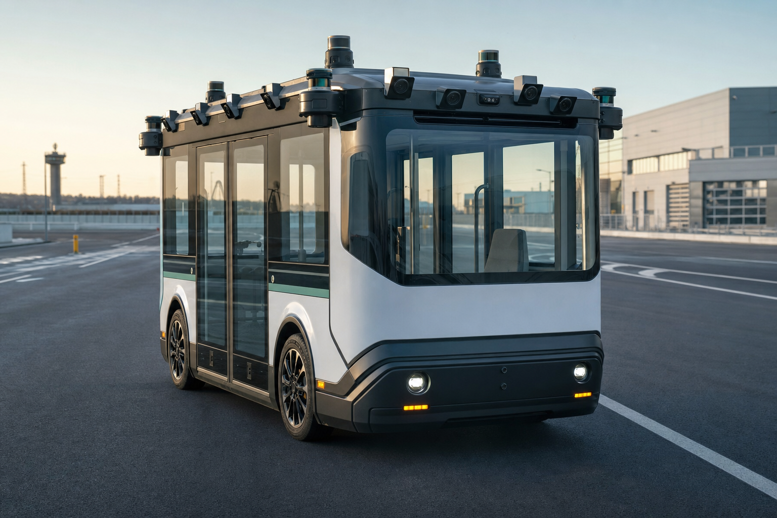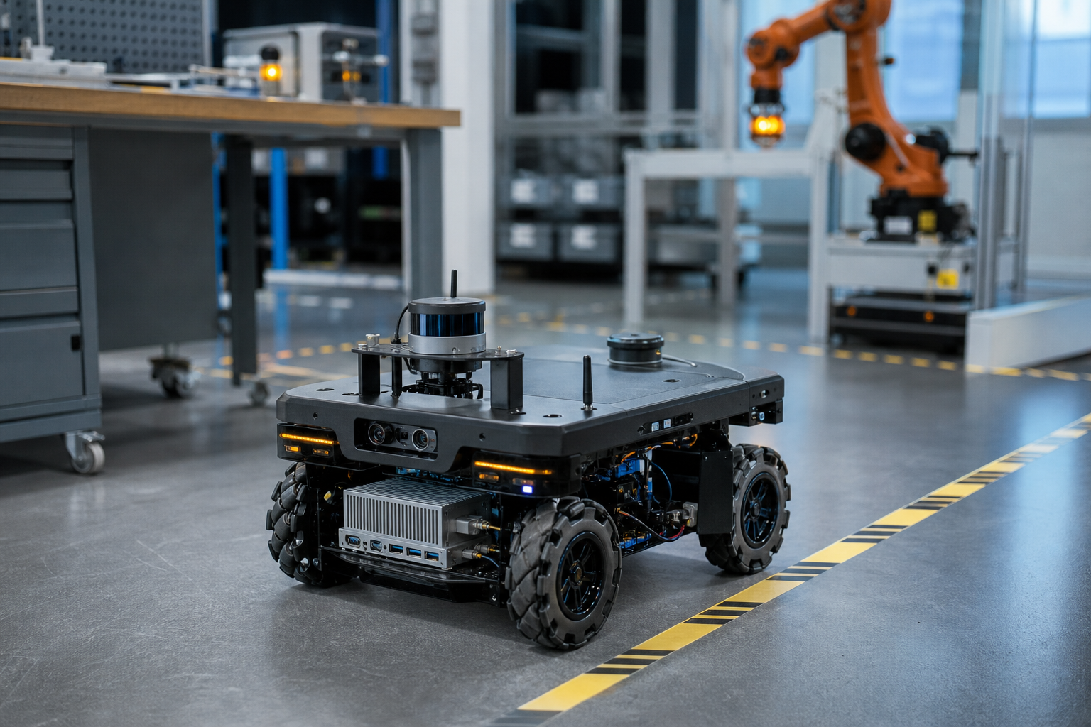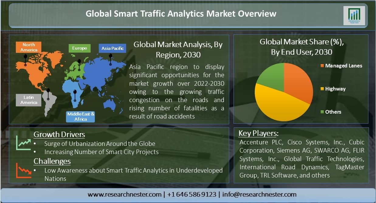


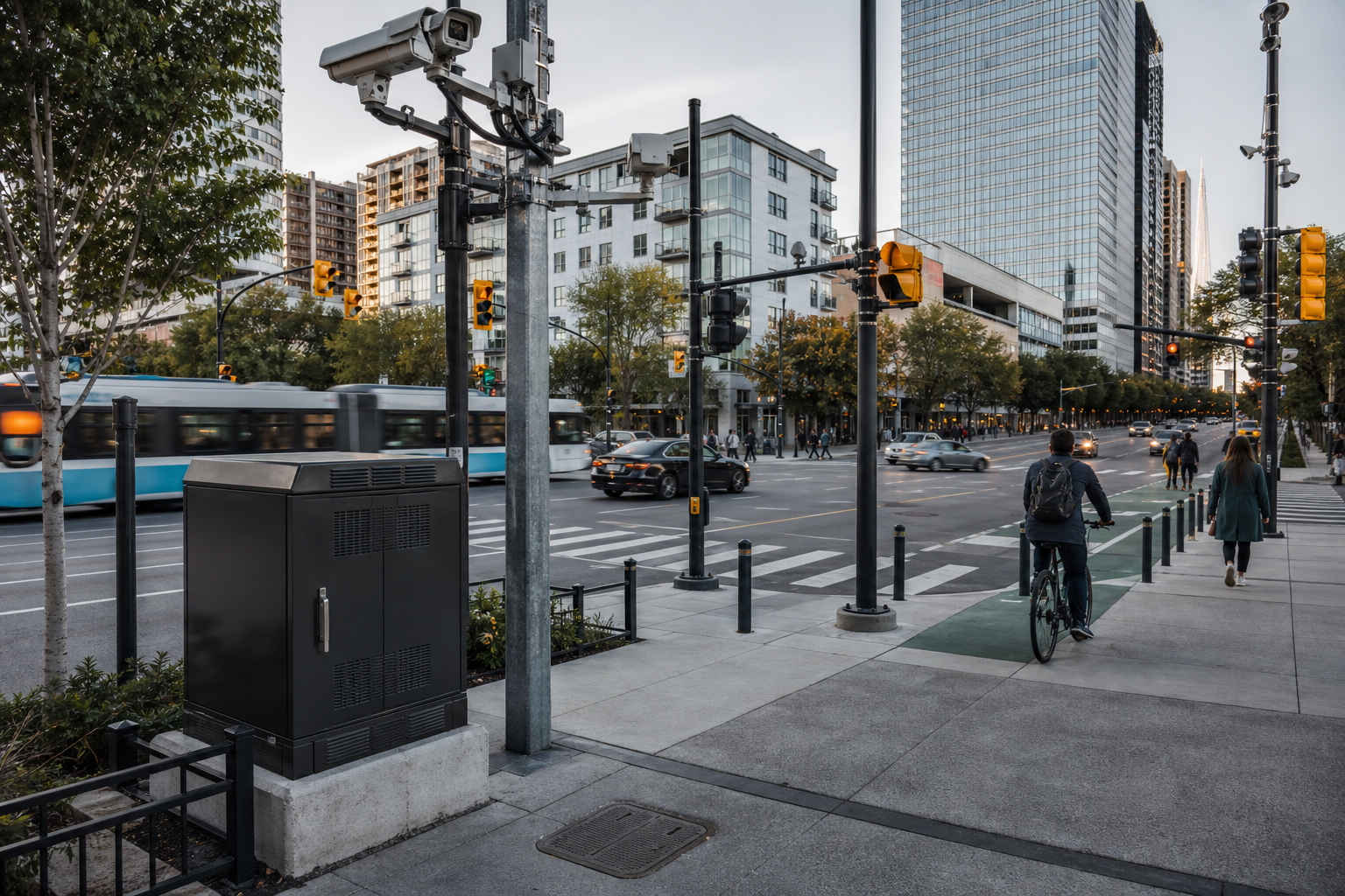
Smart transportation solutions work best when each deployment begins with one measurable operational decision: detect a hazard, classify traffic, prioritize an intersection, monitor a fleet, or produce reliable event data. Edge AI can process selected sensor streams close to the road or vehicle, but it should not be deployed as a vague “smart city” layer. Define the action, latency, accuracy, coverage, and failure behavior first; then select sensors, edge hardware, networking, and cloud services.
For Smart transportation solutions, the core architecture question is not edge versus cloud. It is which work must happen locally, which information must be shared, and which functions can wait for centralized analysis.
Quick Deployment Decisions for Smart Transportation Solutions
- Use case: safety event, traffic flow, curb management, parking, transit, fleet, or infrastructure condition.
- Decision output: alert, count, classification, trajectory, signal input, maintenance ticket, or stored evidence.
- Sensor topology: camera, radar, lidar, loop, environmental sensor, vehicle data, or a validated combination.
- Timing: local response deadline and maximum age of a usable result.
- Coverage: lanes, approaches, zones, lighting, weather, and occlusion.
- Data policy: what is processed, retained, anonymized, or transmitted.
- Operations: health monitoring, remote update, cleaning, calibration, and field replacement.
- Acceptance test: route or site conditions, accuracy metric, latency, uptime, and recovery behavior.
This brief should be completed before a hardware RFQ. Otherwise, system integrators receive incomparable quotes and the project risks buying compute that cannot solve the defined operational problem.
Define the Transportation Decision Before the AI Model
“Traffic analytics” can refer to simple counts or to complex road-user trajectories and risk detection. The hardware, data, and validation requirements are very different.
Start with the output
Write the output in a form that an operator or another system can use:
- “Generate a timestamped wrong-way vehicle alert for human verification.”
- “Count vehicles by class and lane in 15-minute intervals.”
- “Estimate queue length for signal optimization.”
- “Detect a stopped vehicle in a defined tunnel zone.”
- “Report camera obstruction or loss of view.”
Each output needs a permitted delay, confidence or quality threshold, retention rule, and fallback action. This prevents a project from optimizing a model metric that does not improve transportation operations.
Separate advisory and control functions
An AI result used to inform a dashboard has a different risk profile from a result that changes a traffic signal or vehicle behavior. Higher-consequence actions may require independent confirmation, deterministic controls, redundancy, formal safety engineering, or compliance with local authority requirements.
Buyer check: State whether the AI output is informational, operator-assisted, or directly connected to a control system.
Decide What Runs at the Edge
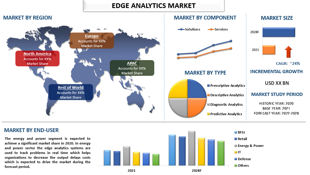
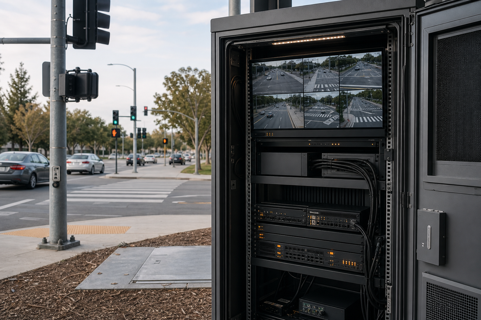
Local processing is valuable when the use case is latency-sensitive, bandwidth-intensive, connectivity-constrained, or subject to data-minimization requirements. Central systems remain useful for fleet-level coordination, historical analysis, cross-site model management, and long-term reporting.
Good candidates for local processing
- Video decoding and quality checks.
- Object detection, tracking, and zone logic.
- Immediate hazard or equipment-health events.
- Privacy transformations such as masking before transmission.
- Local buffering during a network interruption.
- Filtering raw sensor streams into compact metadata.
Good candidates for centralized processing
- Cross-intersection or citywide trend analysis.
- Model lifecycle management and staged deployment.
- Long-term reporting and planning.
- Data fusion that depends on many sites.
- Central audit, access control, and configuration policy.
ETSI MEC specifications describe roadside applications that receive local vehicle or sensor data, analyze it near the area of interest, and propagate latency-sensitive warnings. That architecture is useful guidance, but every project still needs its own network, timing, safety, and interoperability validation.
Map Sensors to the Decision
The sensor plan should explain what each device contributes and which failure it addresses.
Cameras
Cameras provide rich classification and visual evidence but are affected by lighting, glare, weather, dirt, occlusion, vibration, and scene changes. Define lens, resolution, frame rate, exposure behavior, field of view, mounting height, and cleaning access.
Radar and lidar
These sensors can add range or motion information and may operate differently from cameras in poor visibility. They also create calibration, synchronization, data-format, and cost requirements. Use them only when their contribution is linked to the acceptance criteria.
Existing infrastructure signals
Loops, controllers, vehicle messages, and environmental sensors may provide useful context. Confirm ownership, protocol, timing, cybersecurity, and data quality before designing the edge node around them.
Common mistake: Adding multiple sensor types without a defined fusion benefit or maintenance plan.
Size the Camera and Compute Pipeline
Multi-camera transportation systems can be limited by input bandwidth, decoding, memory movement, storage, and synchronization before the AI accelerator reaches its nominal limit.
Step 1: Describe every stream
- Camera model and interface.
- Resolution and frame rate.
- Pixel format or codec.
- Cable length and connector.
- Synchronization and timestamp source.
- Required recording and retention.
Step 2: Describe every workload
- Detection or segmentation model.
- Tracking and trajectory logic.
- Region-of-interest rules.
- Privacy transformation.
- Encoding, recording, and event export.
- Health monitoring and remote management.
Step 3: Test concurrency
Run all streams and services together. Measure end-to-end event latency, dropped frames, memory use, storage throughput, power, temperatures, and network load. Repeat during remote upload, log rotation, and software update operations.
Step 4: Plan growth
Keep documented capacity for model updates or an additional stream, but avoid unspecified “future proofing.” Excess capacity can increase cost, heat, and power without solving a defined need.
Where a Multi-Camera Edge Computer Can Fit
The TWOWIN T808P-G product page describes an NVIDIA Jetson Orin NX-based computer with optional 70/100 TOPS configurations and eight GMSL2 camera inputs. It also lists positioning, networking, peripheral, power, and temperature features relevant to selected vehicle and roadside applications.
It is a candidate when those interfaces match the camera ecosystem and deployment environment. It is not automatically the right choice for every intersection. A fixed roadside camera network may prefer Ethernet or PoE cameras, while an in-vehicle design may benefit from automotive camera links and ignition-aware power behavior.
RFQ inputs
- Roadside, in-vehicle, or mobile deployment.
- Exact camera types and simultaneous modes.
- Local models and required frame rates.
- Event-latency target.
- Positioning and timing method.
- Ethernet, CAN, serial, wireless, and storage needs.
- Power source and shutdown behavior.
- Temperature, enclosure, ingress, vibration, and mounting.
- Software baseline and remote-management responsibilities.
Design the Network Around Events and Failures
Bandwidth calculations should include routine traffic, peak events, diagnostics, software updates, and recovery after an outage. If raw video is not needed centrally, transmit event metadata and selected evidence clips instead of continuous streams.
Network-loss behavior
Define how long the edge node buffers data, which events receive priority, how clocks remain trustworthy, and how the system reconciles stored information when connectivity returns.
Security and device management
Use authenticated updates, signed software where available, least-privilege access, network segmentation, credential rotation, audit logging, and a documented vulnerability-response process. Physical access to roadside equipment is also part of the threat model.
Buyer check: Ask who owns the operating-system image, device certificates, update server, and incident-response process after commissioning.
Plan for Field Operations
A model that performs well on day one can drift as seasons, traffic patterns, road markings, construction, foliage, and camera alignment change. Operations must include more than checking whether a device is online.
Health signals
- Camera availability and image obstruction.
- Frame rate and timestamp quality.
- Edge-computer temperature and storage health.
- Model and configuration version.
- Event rate outside the expected range.
- Network, clock, and positioning status.
Maintenance actions
- Lens cleaning and physical inspection.
- Recalibration after camera movement.
- Review of false-positive and missed-event samples.
- Controlled model rollout with rollback.
- Replacement procedure that preserves identity and configuration.
Acceptance Test for Smart Transportation Solutions
Functional coverage
- Every lane or zone is visible under the defined conditions.
- Required object classes and events are tested.
- Occlusion and transition between camera views are evaluated.
- Camera health faults are detected.
Performance
- Event latency is measured from capture to usable output.
- Accuracy metrics are defined by use case and class.
- Dropped frames and stale results remain within limits.
- The full workload runs continuously at worst-case temperature.
Resilience
- Network loss and recovery.
- Camera disconnection or frozen stream.
- Positioning or clock failure.
- Storage full or degraded.
- Unexpected reboot and power interruption.
- Failed software update with rollback.
Operational handover
- Configuration and model versions recorded.
- Monitoring and alert owners assigned.
- Spare unit and replacement process tested.
- Privacy, retention, and access rules documented.
- Acceptance evidence signed by the responsible parties.
Frequently Asked Questions
Does every smart transportation project need edge AI?
No. Simple sensing or non-urgent analytics may be handled by existing controllers or centralized platforms. Edge AI is most useful when local sensor data is rich, response time matters, connectivity is limited, or sending all raw data is inefficient or undesirable.
How many cameras can one edge computer support?
The physical connector count is only the first limit. Actual capacity depends on camera format, resolution, frame rate, synchronization, decoding, model workload, recording, memory, software, and thermal conditions. Prove capacity with all services active.
Should raw traffic video be sent to the cloud?
Only when the operational, legal, and analytical need justifies it. Many systems can send event metadata and selected clips while retaining or discarding raw video according to policy. Confirm local privacy and evidence requirements.
What should be piloted first?
Choose one representative site and one measurable use case. Include difficult lighting, weather, traffic, and connectivity conditions, then validate accuracy, latency, maintenance workload, and failure recovery before scaling.
Convert the Use Case into a Deployment Specification
TWOWIN can assess a transportation edge-computing request when the project provides the site or vehicle type, decision output, sensor list, camera modes, workload, latency target, positioning, network, power, environment, data policy, and acceptance criteria. Use that information to compare candidate configurations and plan a field pilot that produces auditable evidence.
References and Sources
- TWOWIN, NVIDIA Jetson Orin NX 8xGMSL2 T808P-G product page.
- ETSI GS MEC 002, Multi-access Edge Computing Use Cases and Requirements.
- ETSI GR MEC 043, Edge information exposure for vertical industries.